 Add Row
  Add
Add 

Stockbridge Trails Action Plan: A Vision for Connectivity
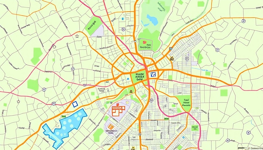
In a significant step towards improving pedestrian connectivity and enhancing the quality of life for residents, Stockbridge officials have engaged the PATH Foundation to create a strategic action plan for the city's existing trails system. Presented during a recent council meeting, this initiative addresses a long-term vision to establish a 24-mile network of trails linking downtown Stockbridge, local parks, schools, and commercial areas.
Current Infrastructure and Future Development
Currently, Stockbridge boasts 3.3 miles of developed trails, including the Reeves Creek Trail along Flippen Road. Additionally, there are another 5.5 miles of segments under design, with the exciting Rock Quarry Road project set to incorporate pedestrian pathways upon its completion this summer. Phase 1 of the action plan proposes a more ambitious expansion, looking to add five miles of trails in the next 10 to 12 years, particularly around downtown Stockbridge, and initiating plans for a pedestrian path along Walt Stephens Road.
Model Trail Segment: A Showcase of Progress
The Brush Creek Greenway segment, a 0.25-mile stretch primarily situated on city-owned property, has been designated as a model project by the PATH Foundation. Discussions are ongoing with a private landowner to secure additional access required for this project. Expected to be completed by early 2027, this model is chosen for its quick delivery and essential connectivity, linking Clark Community Park to the Club Place subdivision.
Innovative Ideas: Moving Beyond Traditional Trail Design
Among the innovative proposals in the action plan is a pedestrian tunnel that would go beneath the Norfolk Southern railroad, connecting two significant parks—Clark Park and Cochran Park. Though the idea has been discussed for several years, it highlights the city's commitment to integrating pedestrian pathways into the urban landscape, enhancing both safety and accessibility for residents.
Financial Aspects: Funding the Future of Stockbridge Trails
The budget for the model trail segment stands at an estimated $2 million, with funding sourced from existing SPLOST allocations. However, to realize the full vision outlined in Phase 1, estimated costs total about $39 million, whereas only $21 million is currently allocated through T-SPLOST for related projects. Unifying efforts through additional funding avenues, like SPLOST VI launching in April, could drive the project forward.
Community Excitement: Council Support and Resident Impact
The Stockbridge City Council has expressed robust enthusiasm for this action plan, highlighting its potential to significantly enhance the community's connectivity. Mayor Ford noted the "wonderful connectivity between the parks," while Councilwoman Gantt emphasized the significance of linking recreation areas, saying, "People go to Lake Spivey to use the trails. We can connect Reeves Creek and the west side of the city." The council's overall optimism indicates a favorable public sentiment surrounding the improvements.
Next Steps: A Path Forward for Approval
As the council approaches a vote to adopt the plan this February, it further cements Stockbridge's trajectory towards modernizing its infrastructure and prioritizing pedestrian accessibility. If adopted, design work on the model trail segment could commence swiftly, paving the way for transformative changes that promise to elevate both the functionality and beauty of this growing city.
Why Understanding This Plan Matters
The Stockbridge Trails Action Plan not only enhances physical connectivity but serves as a blueprint for sustainable development and community engagement. Residents, guided by this vision, can look forward to improved recreation opportunities, increased property values, and stronger community ties through better accessibility.


 Add Row
  Add
Add 
Write A Comment